
Maps
PROJECT MAP - Coming Soon!
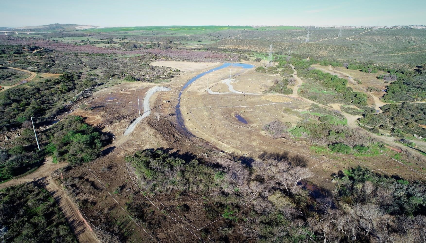
Use the map below to pan around the project area, zoom in and out, and toggle project layers. Use the Basemap dropdown to view Google satellite imagery and USGS Topographic basemaps.
Use the map below to pan around the project area, zoom in and out, and toggle project layers. Use the Basemap dropdown to view Google satellite imagery and USGS Topographic basemaps.